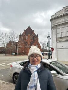
Wenxin Yang is a geographer whose research focuses on biodiversity conservation and sustainable land use planning. By applying spatial data science and AI methods such as transfer learning and foundation models, Wenxin aims to build replicable methods to help monitor species habitats (e.g., extent, pattern, and 3D structures), and advance 3D landscape ecology for conservation science and practices.
First, Wenxin aims to address the challenge of spatial scale mismatch between globally-trained models and local to regional conservation actions. Wenxin will develop scalable and transferable AI methods to build reproducible models to support habitat monitoring and conservation in the Americas. She will primarily focus on modeling species habitats and vertical vegetation structural metrics (e.g., tree height and structural complexity) using multi- source remote sensing data across spatial scales and regions.
Second, Wenxin aims to contribute to 3D ecology by asking and answering questions on how to represent habitats in 3D, how to monitor habitats in 3D, and how 3D approaches and perspectives can advance ecology and assist conservation practices to balance conservation and development needs. She will develop methods for 3D landscape pattern analysis and work with existing collaborators and potentially beyond, to assist in conservation actions such as placing canopy bridges to conserve endangered primates and identifying 3D pathways for migratory birds in urban ecosystems.