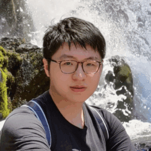
Shengxi Gui is a remote sensing ecologist and postdoctoral researcher at the University of Michigan’s School for Environment and Sustainability. His work uses satellite imagery, LiDAR, and machine learning models to ask how forests capture and keep carbon in a warming world. By tracking post fire recovery, biomass change, and supply chain flows, he links forest ecology with industrial ecology, pinpointing where carbon benefits.
He earned his Ph.D. in remote sensing and photogrammetry from The Ohio State University in 2024, where he used 2 D and 3 D satellite data to map wildfire scars and urban geometric structures. Through MIDAS training he is scaling these methods to large scale landscape monitoring and high resolution city modeling, while sharpening remote sensing and deep learning, to help land managers, urban planners, and policy makers make faster, data driven decisions on climate resilience.
Shengxi Gui
Postdoctoral Affiliates Fellow, 2025 Cohort
Remote sensing and forest ecology